
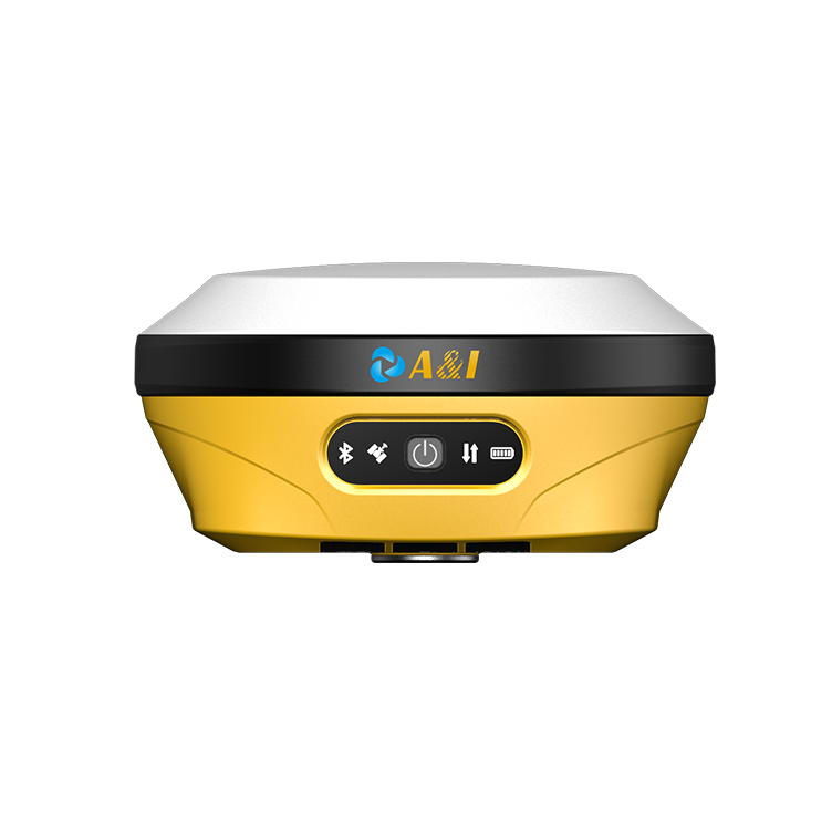
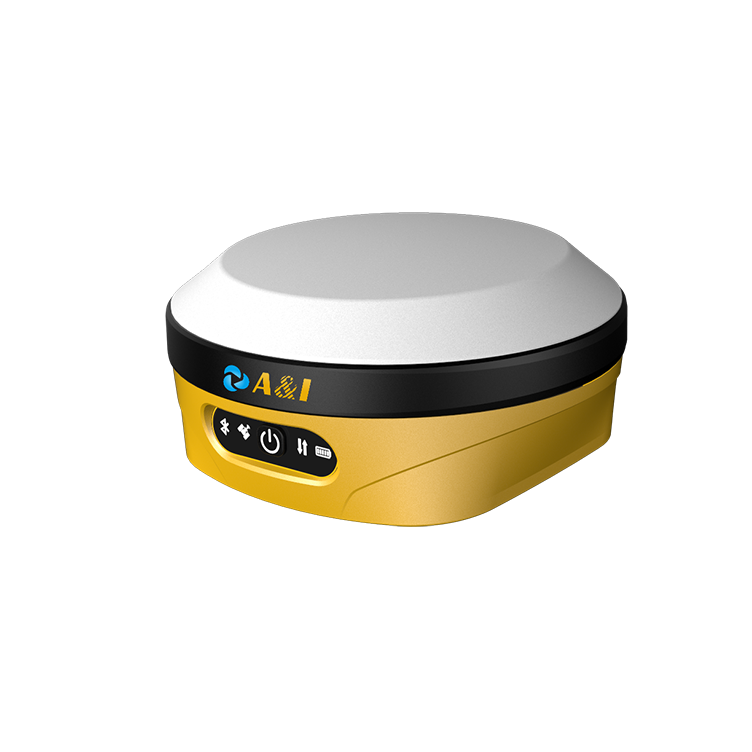
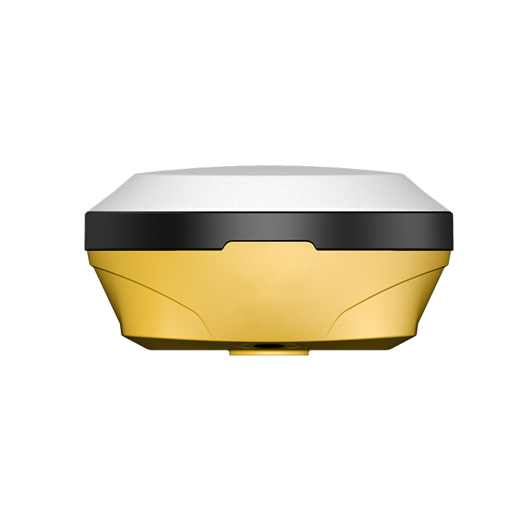
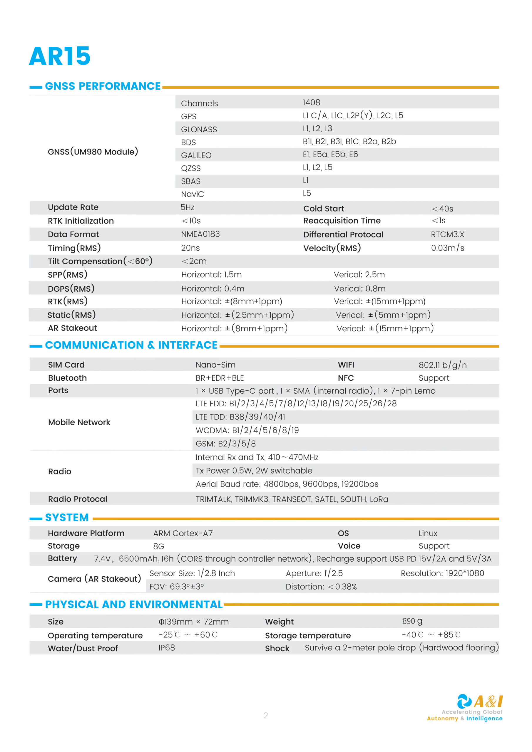
AR15 STAKEOUT RTK
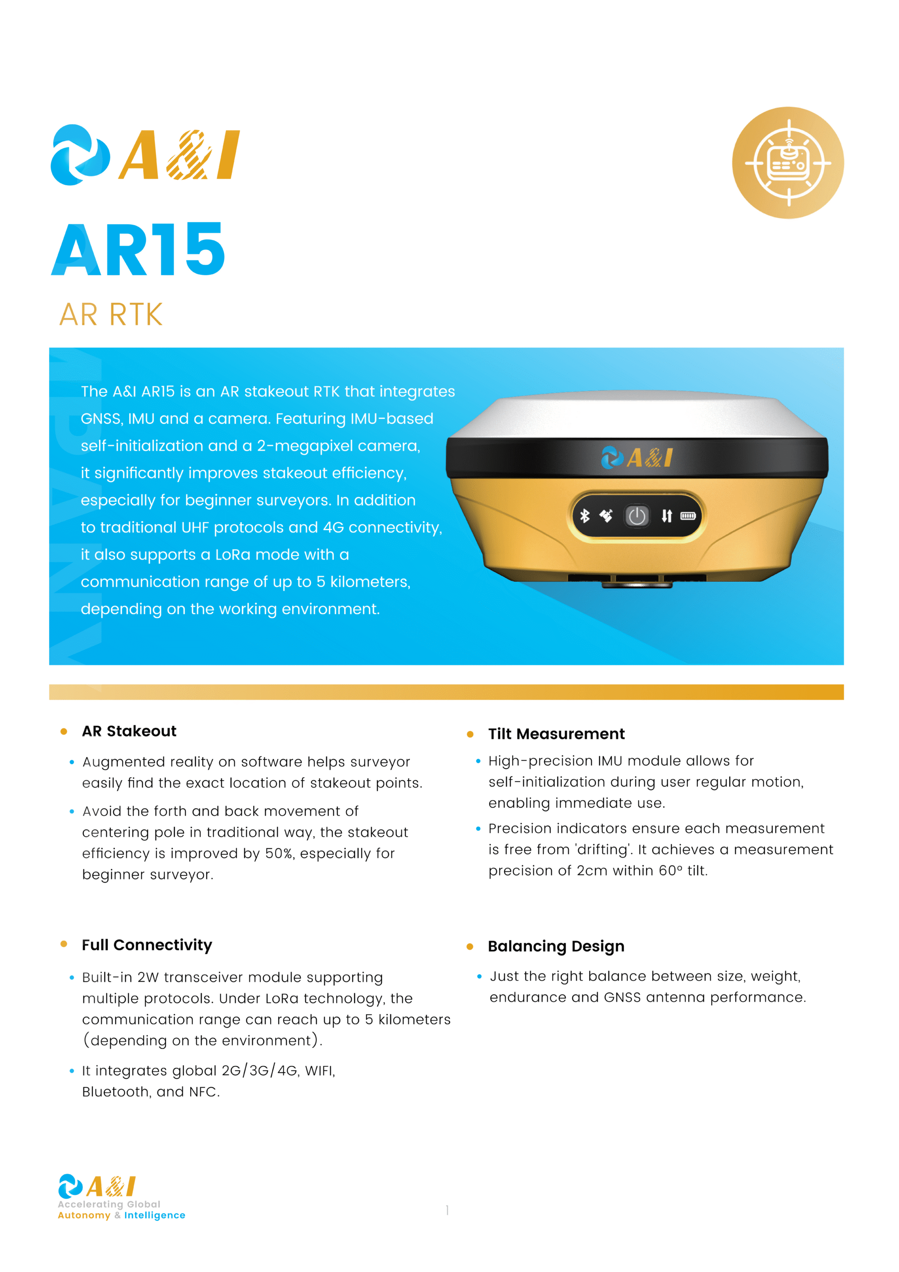
AR15 AR STAKEOUT RTK
-
AR Stakeout: Augmented reality software helps surveyors locate stakeout points easily, reducing the forth-and-back movement of centering poles and improving stakeout efficiency by 50%, especially for beginners.
-
Tilt Measurement: High-precision IMU module enables self-initialization and continuous use during motion, delivering 2cm measurement precision within 60° tilt, completely free from drifting errors.
-
Full Connectivity: Built-in 2W transceiver supports UHF, 4G, LoRa (up to 5km range), WiFi, Bluetooth, and NFC — covering all common communication protocols for maximum field flexibility.
-
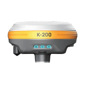
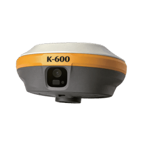
Balancing Design: Optimally balances size, weight, endurance, and GNSS antenna performance, integrating GNSS, IMU, and a 2-megapixel camera in one compact and field-ready device.
Reviews
There are no reviews yet.