Products
Showing 1–24 of 36 resultsSorted by popularity
-

-
Autosteering System (1)
-
Surveying Accessories (22)
-
Thermal Image (5)
-
-
-
-
-
-
-
-
-
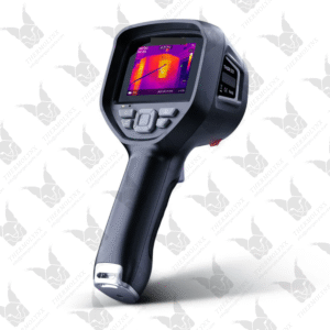
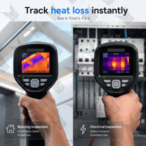
Thor 200 – Expert Handheld Thermal Imager (without Macro Lens)
Thor 200 does not include an optional macro lens, and has a NETD of 40 mK and an accuracy of ±2°C.
- HVAC, electrical & industrial diagnostics for heat loss and fault detection.
- 256×192 IR sensor with 512×384 enhanced resolution for clearer detail.
- –20℃ to 550℃ (–4℉ to 1022℉), with flexible measurement modes.
- High sensitivity (NETD <35/40 mK), 25Hz smooth imaging, up to 10h runtime.
- Supports emissivity and distance adjustment, isotherms, temperature alarms, and calibration.
-
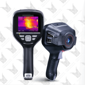
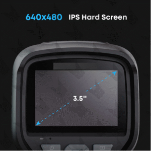
Thor 100 – Expert Handheld Thermal Imager (with Macro Lens)
The Thor 100 is equipped with an optional macro lens, featuring a NETD of 35 mK and an accuracy of ±1.5°C, designed for detailed inspection of PCBs, while the Thor 200 does not include this lens and has a NETD of 40 mK and an accuracy of ±2°C.
- HVAC, electrical & industrial diagnostics for heat loss and fault detection.
- 256×192 IR sensor with 512×384 enhanced resolution for clearer detail.
- –20℃ to 550℃ (–4℉ to 1022℉), with flexible measurement modes.
- High sensitivity (NETD <35/40 mK), 25Hz smooth imaging, up to 10h runtime.
- Supports emissivity and distance adjustment, isotherms, temperature alarms, and calibration.
-
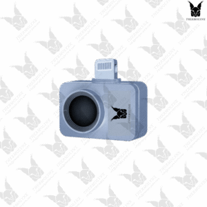
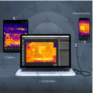
Thermolynx Q2 Pro – World’s Smallest Thermal Camera
Thermolynx P2 Pro is a Small Thermal Camera compatible with both Android and iOS systems. It is not only very lightweight, but also offers a wide temperature measurement range.
- Suitable for PCB, electronics, electrical, HVAC, and automotive inspections.
- Weighing just 9 g, the P2 Pro is plug-and-play for easy everyday use.
- Vox 256×192 IR Resolution with Razor X™ ultra-clear imaging.
- –4℉ to 1112℉ (–20℃ to 600℃) with ±2℃ PCB-level accuracy.
- Thermal Master® core (NETD ≤40 mK) with 0.33 W low power consumption.
- Works with Android & iOS for thermal photos & videos via Temp Master.
-
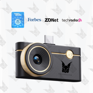
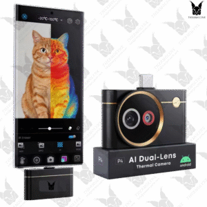
Q3 Thermal Camera for iPhone and android
Q3 is one of the 2026 Best Focusing Thermal Cameras suitable for all-range diagnostics and PCB inspection.
- 8 mm manual-focus macro lens detects PCB leakage as low as 1 mA.
- 512 × 384 Super IR resolution built on a native 256 × 192 VOx IR sensor.
- NETD <35 mK, 25 Hz refresh rate, 0.32 W ultra-low power use.
- Measures -20℃ to 600℃ (-4℉ to 1112℉) with ±2℃ / ±2% accuracy.
- 12 color modes and up to 15x digital zoom.
- Compatible with Android, iOS, and PC devices.
- Ideal for PCB inspection, electrical diagnostics, HVAC, industrial, home, and automotive use.
-
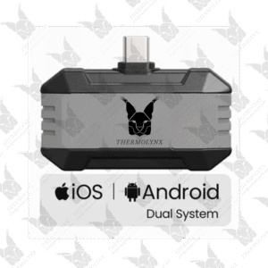
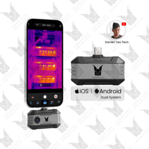
Thermolynx Q1 — Home Inspection Thermal Camera
Thermolynx Q1 is a thermal camera for phone that turns your smartphone into a compact thermal inspection tool for repair and diagnostic tasks.
- Built for electronics repair, testing, and daily troubleshooting.
- 320 × 240 Super IR resolution, enhanced from VOx 160 × 120 IR resolution.
- High-sensitivity sensor (≤40 mK, 25 Hz) with 0.32 W low power use.
- –4°F to 1112°F (–20°C to 600°C) with ±2°C accuracy
- Modes with isotherm, TruePix precision, and adjustable emissivity.
- Compatible with Android (Type-C), iOS, and PC
-
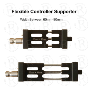
Flexible Controller Supporter
- Aluminium Material
- Suitable for 65mm-90mm width Handcontroller or Tablet
-
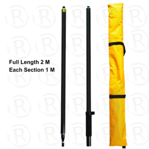
-
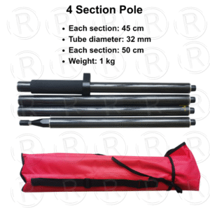
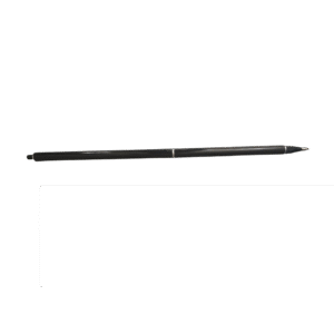
4 Section Carbon Fiber Pole with Full Length 2 M
- Each section: 45 cm
- Tube diameter: 32 mm
- Each section: 50 cm
- Weight: 1 kg
-
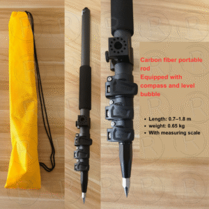
1.8 M Carbon Fiber Pole with Snap Lock
- Length: 0.7-1.8 m
- Weight: 0.65 kg
- With measuring scale
- Equipped with compass and level bubble
-
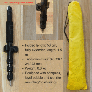
1.5M / 1.8M Aluminium Rotating Telescopic Pole
- Weight: 0.6 kg
- Folded length: 53 cm
- fully extended length: 1.5M
- Tube diameters: 32 / 28 /24/22 mm
- Equipped with compass, level bubble and slot (for mounting/positioning)
-
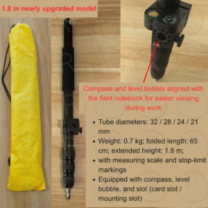
1.8 M Aluminium Rotating Telescopic Pole
- Weight: 0.7 kg;
- folded length: 65¥cm;
- extended height: 1.8 m;·
- Tube diameters: 32/28/24/21mm
- with measuring scale and stop-limitmarkings
Equipped with compass, levelbubble, and slot (card slot/mounting slot)
-
-
-
-
-