
RTK / GNSS
Showing all 8 resultsSorted by popularity
-
-
-
-
-
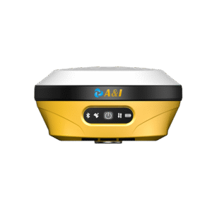
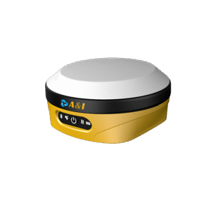
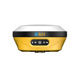
AR15 STAKEOUT RTK
AR15 AR STAKEOUT RTK
-
AR Stakeout: Augmented reality software helps surveyors locate stakeout points easily, reducing the forth-and-back movement of centering poles and improving stakeout efficiency by 50%, especially for beginners.
-
Tilt Measurement: High-precision IMU module enables self-initialization and continuous use during motion, delivering 2cm measurement precision within 60° tilt, completely free from drifting errors.
-
Full Connectivity: Built-in 2W transceiver supports UHF, 4G, LoRa (up to 5km range), WiFi, Bluetooth, and NFC — covering all common communication protocols for maximum field flexibility.
-
Balancing Design: Optimally balances size, weight, endurance, and GNSS antenna performance, integrating GNSS, IMU, and a 2-megapixel camera in one compact and field-ready device.
-
-
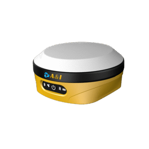
AL16 GEODETIC LASER RTK
AL16 LASER RTK DOUBLE CAMERAS
-
Geodetic-grade integration: A geodetic-grade GNSS receiver combining GNSS, IMU, camera and laser ranging technologies, delivering high-precision non-contact laser measurement with seamless IMU initialization and precise laser calibration.
-
Expanded measurability: Turns previously unmeasurable, unreachable, and hard-to-measure points into safe, surveyable targets — while maintaining full survey accuracy at hazardous locations.
-
AR-powered stake-out: Significantly boosts stake-out efficiency using advanced AR augmented reality technology, showing the exact direction, distance, and position of every stakeout point in real time.
-
Dual-camera guidance: Front and bottom cameras work together to guide the surveyor on where to move and precisely where to place the pole, ensuring fast and accurate field operations.
-
-
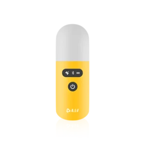
GEOPOD POINT COLLECTOR
GEOPOD
Handheld High-Precision Positioning Collector
- Compact, lightweight handheld high-precision with ergonomic capsule design
- Supports full constellations with multi-frequency capability for global use
- Integrated IMU enables tilt measurement from 0° to 90° with high accuracy (≤1.5 cm up to 60°, ≤2.0 cm near 90°)
- Rugged IP67-rated protection
- Expandable software upgrades
-
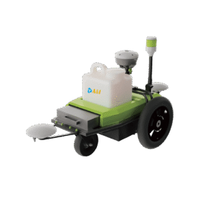
Robotic Linemaker
ARR100 Pre-Marking Robot
Redefining Road Marking Efficiency Through Intelligent Automation
- Centimeter-Level Accuracy — Reliable, repeatable precision marking
- High Productivity — Manual operations at up to 7.2 km/h
- Universal Compatibility — Supports spray devices of various sizes
- All-Terrain Ready — Operates reliably on paved roads, grass, gravel