
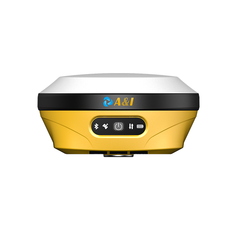
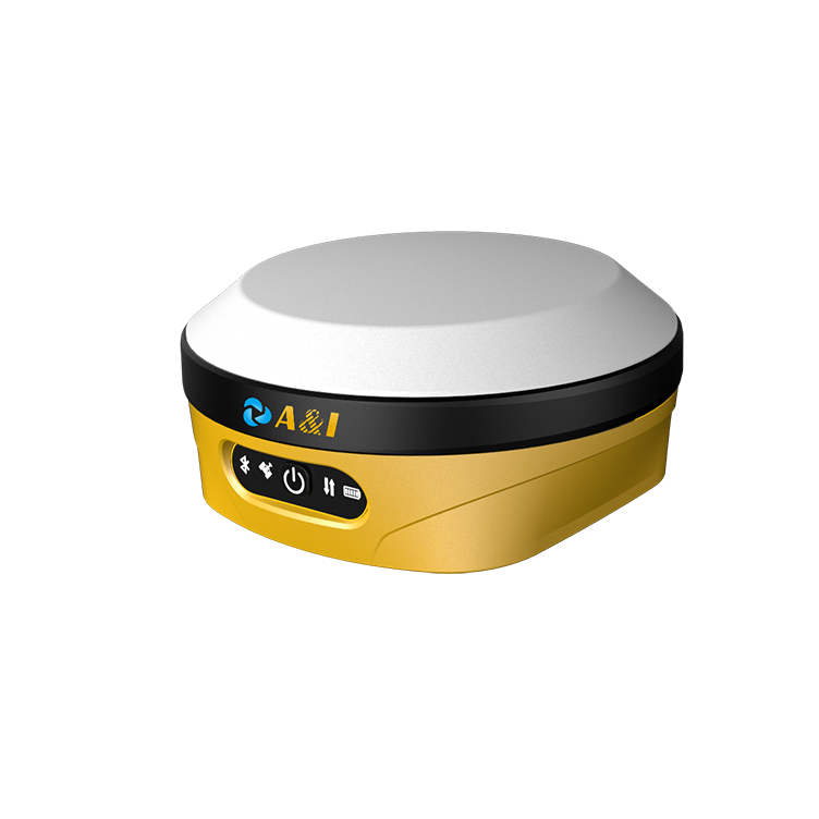
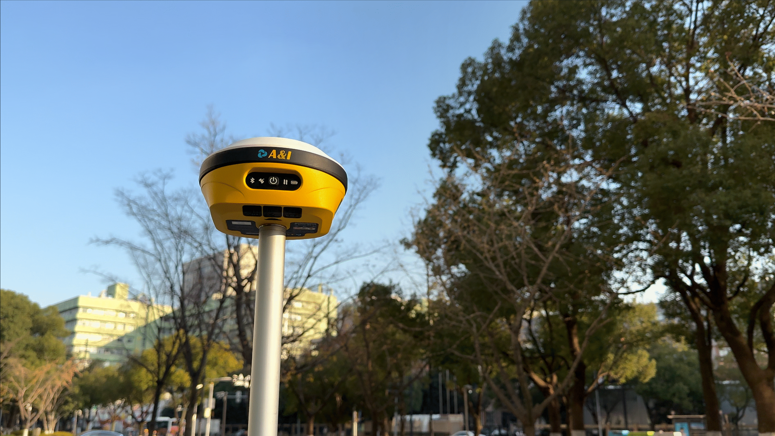
AL16 GEODETIC LASER RTK
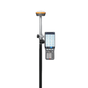
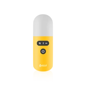
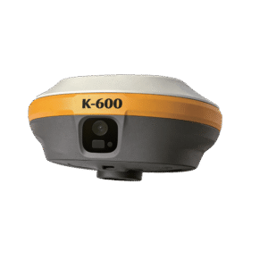
AL16 LASER RTK DOUBLE CAMERAS
-
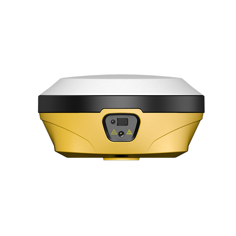
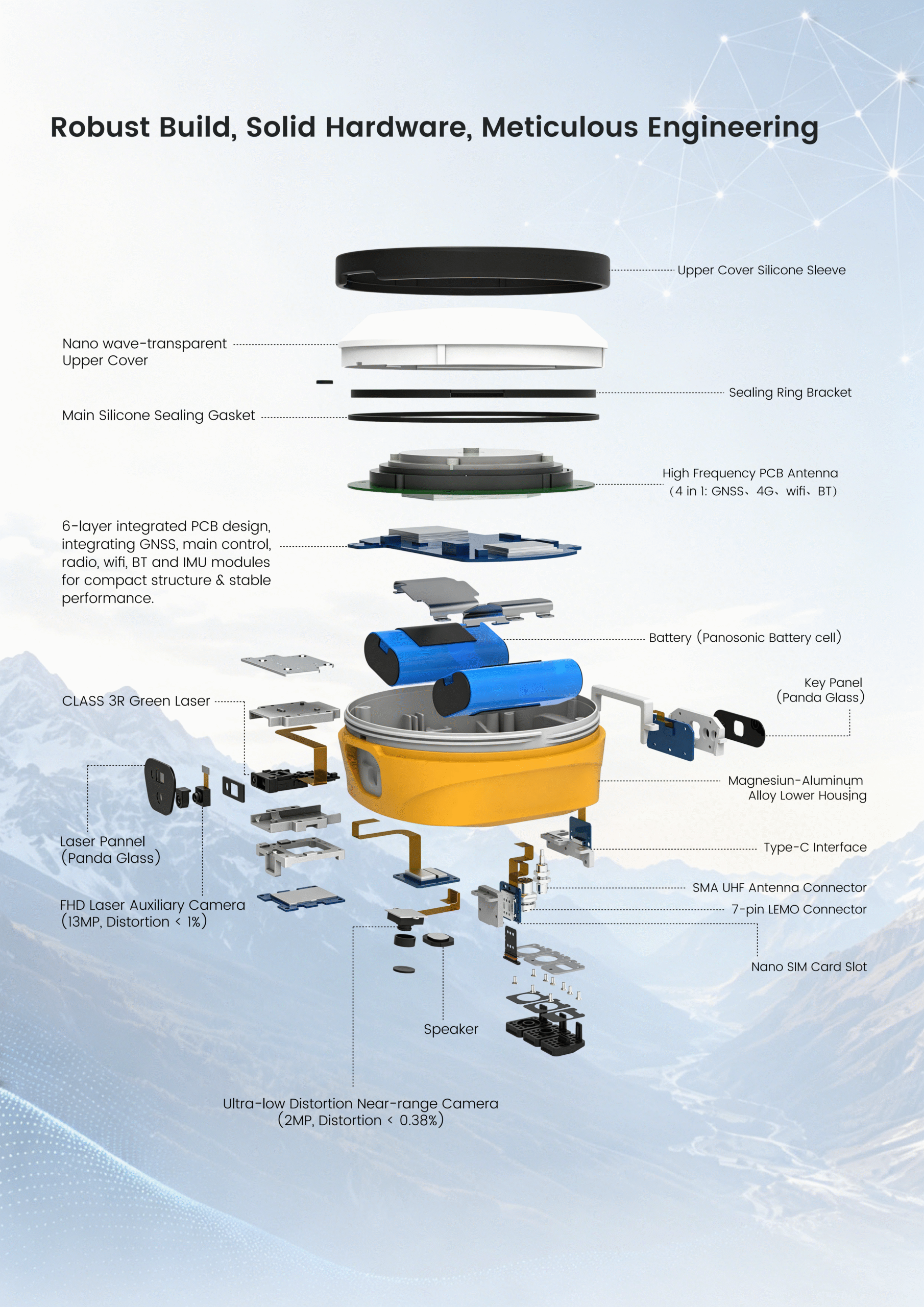
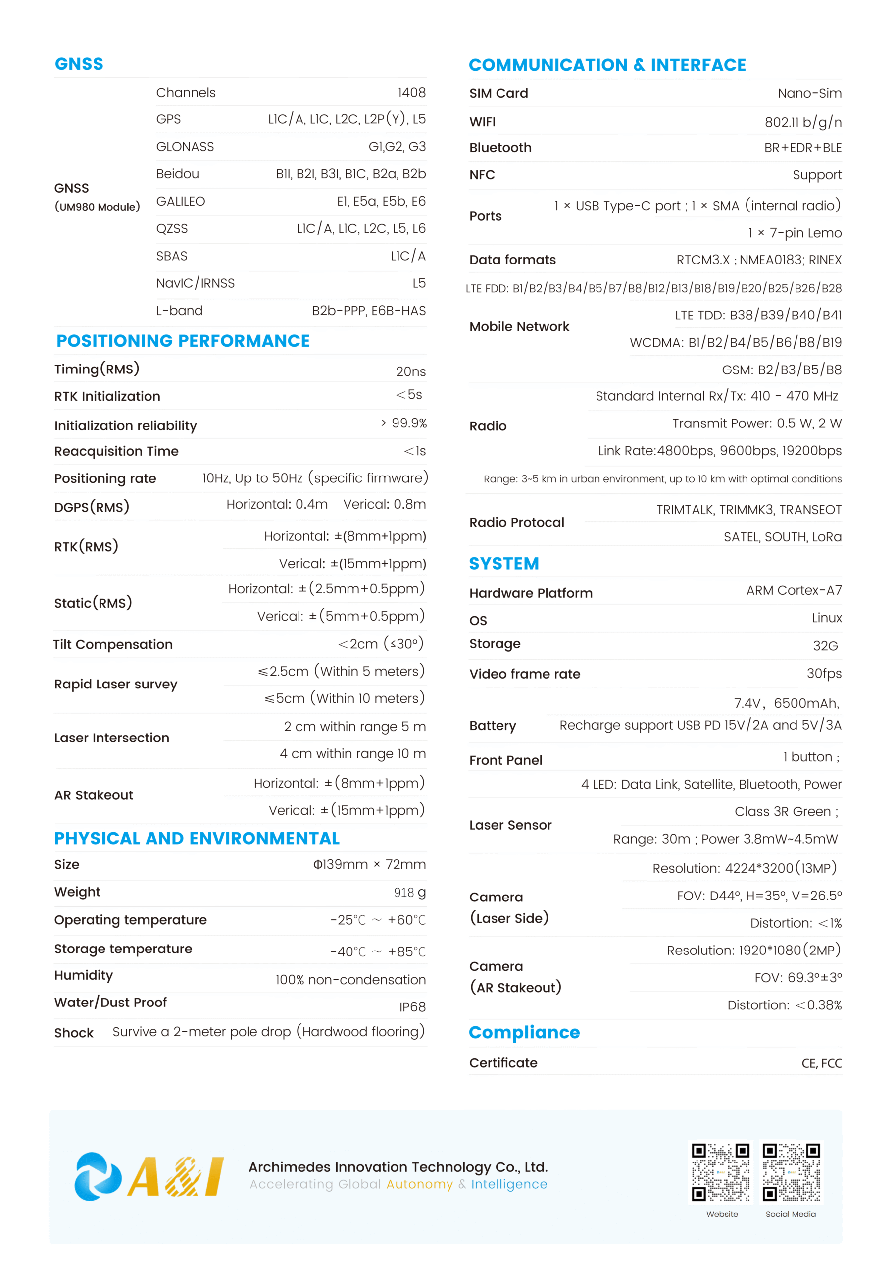
Geodetic-grade integration: A geodetic-grade GNSS receiver combining GNSS, IMU, camera and laser ranging technologies, delivering high-precision non-contact laser measurement with seamless IMU initialization and precise laser calibration.
-
Expanded measurability: Turns previously unmeasurable, unreachable, and hard-to-measure points into safe, surveyable targets — while maintaining full survey accuracy at hazardous locations.
-
AR-powered stake-out: Significantly boosts stake-out efficiency using advanced AR augmented reality technology, showing the exact direction, distance, and position of every stakeout point in real time.
-
Dual-camera guidance: Front and bottom cameras work together to guide the surveyor on where to move and precisely where to place the pole, ensuring fast and accurate field operations.
Reviews
There are no reviews yet.